YOUR TRUSTED
PARTNER FOR
AERIAL
INTELLIGENCE
SOLUTION
At Volatus Aerospace,
our mission is clear: to provide
unmatched innovation,reliability
and expertise in every aerial,
intelligence solution.
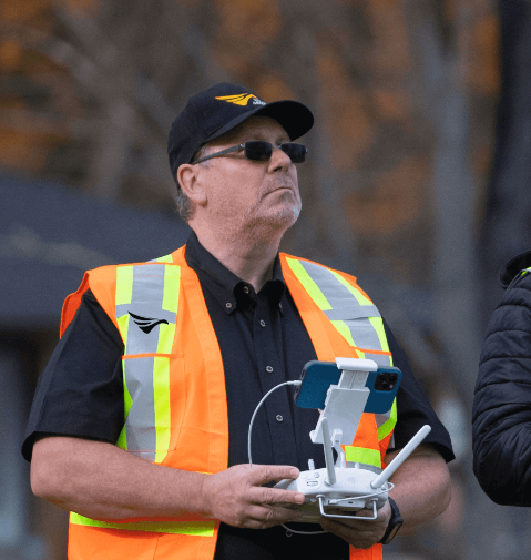
As an innovator of aerial intelligence solutions, we seamlessly merge cutting-edge technology with extensive specialized expertise in every flight mission. Our unique methodology provides our clients unprecedented access to advanced data, enhancing operational efficiency, cutting costs, and empowering fact-based decision-making for successful business outcomes.
Services We Provide
Learn about our diverse range of drone and fixed-wing services tailored to meet your exact needs. Each service is
designed to optimize efficiency, accuracy, and safety, ensuring superior results for your project.
DRONE INSPECTIONS
Explore drone inspections for high-quality, cost-effective drone-based images, video, and data for analysis, surveying, mapping, and more
LEARN MORE >>
LIDAR SERVICES
Discover lidar services that leverage the latest aerial, terrestrial, bathymetric, and subsurface data collection technology
LEARN MORE >>
AVIATION
Learn about our fixed-wing and rotary surveillance operations, ensuring that your assets are protected and monitored with precision